
High-precision positioning is a key requirement for outdoor autonomous equipment, including robotic lawn mowers, unmanned transport vehicles, sweepers, inspection vehicles, and agricultural machinery.
When evaluating an autonomous navigation system, equipment manufacturers often ask: What does 2 cm RTK positioning accuracy actually mean? And why is RTK necessary when standard GNSS can already determine a machine’s location?
Understanding the difference between standard GNSS and RTK positioning helps explain why RTK is widely used in precision navigation and machine-control applications.
1. What Does 2 cm RTK Positioning Accuracy Mean?
RTK stands for Real-Time Kinematic. It is a high-precision GNSS positioning technique that uses carrier-phase measurements and real-time correction data to improve positioning accuracy.
Standard GNSS positioning is generally accurate to the meter level under typical outdoor conditions. This may be sufficient for general navigation, but it can be inadequate for equipment that must follow predefined routes or operate within mapped boundaries.
RTK improves positioning accuracy from meters to centimeters under suitable conditions. A positioning accuracy of approximately 2 cm means that the system can determine the equipment’s position with centimeter-level precision, providing a more accurate location reference for route planning and automatic operation.
This figure should not be interpreted as a guaranteed error limit in every operating environment. Actual performance depends on satellite visibility, correction-data availability, antenna installation, signal reflections, and surrounding obstructions.
2. How Does RTK Positioning Work?
An RTK positioning system typically involves three elements:
- Reference station: Installed at a known location, it receives satellite signals and calculates correction data.
- Rover receiver: Installed on the moving equipment, it receives satellite signals and correction data.
- Communication link: Transfers correction data from the reference station or correction service to the rover.
The rover combines its satellite observations with the correction data to calculate a more accurate position in real time.
This process helps reduce common GNSS positioning errors and enables centimeter-level positioning when the required conditions are met.
3. Why Do Autonomous Equipment Systems Need RTK?
Autonomous equipment needs more than an approximate location. It must continuously determine its position relative to a planned route, mapped work area, or designated boundary.
More accurate route execution
RTK provides a precise position reference, helping the navigation system determine whether the equipment is following its planned route.
Precise mapping and boundary recording
For robotic lawn mowers and other area-based machines, accurate mapping is important when recording work boundaries, operating zones, and restricted areas.
Better coverage planning
For mowing and cleaning operations, high-precision positioning helps the system follow planned routes more consistently. Combined with path-planning algorithms and chassis control, it can help reduce unnecessary overlap and missed areas.
A positioning foundation for fleet management
When multiple machines operate in different zones, consistent positioning data can support task allocation, work-area management, and equipment scheduling. These functions also require suitable software and communication systems.
4. Does RTK Alone Make a Machine Fully Autonomous?
No. RTK solves the high-precision positioning problem, but autonomous navigation is a complete system-level process.
A practical autonomous navigation solution may include:
- High-precision positioning: Determines the equipment’s current location.
- Map creation and path planning: Defines operating areas and travel routes.
- Attitude sensing: Measures heading, orientation, and motion status.
- Chassis control: Converts navigation commands into steering, speed, and movement.
- Environmental perception: Uses sensors such as LiDAR or cameras when required by the application.
- Safety control: Handles abnormal conditions, communication interruptions, and equipment faults.
RTK is an important foundation, but it does not replace navigation software, sensor integration, chassis adaptation, or safety logic.
5. Which Equipment Can Benefit from RTK Navigation?
RTK-based navigation can be evaluated for outdoor mobile equipment that requires accurate positioning and planned route execution, including:
- Robotic lawn mowers
- Unmanned transport vehicles
- Sweepers and floor scrubbers
- Inspection vehicles
- Agricultural spraying vehicles
The final solution depends on the equipment’s chassis structure, steering and drive systems, control interfaces, satellite reception conditions, and operating requirements.
6. NAV-L3: An Integrated Autonomous Navigation Solution
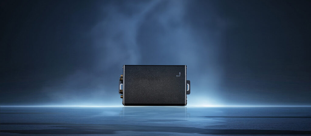
Suzhou Xinzuobiao Intelligent Equipment Co.,Ltd has developed NAV-L3, a high-precision MEMS positioning and attitude-sensing system designed as an integrated hardware and software solution for autonomous navigation applications.
NAV-L3 combines BeiDou multi-mode, multi-frequency satellite positioning, RTK positioning, 4G communication, MEMS attitude sensing, and backend monitoring capabilities.
In RTK mode, NAV-L3 has been tested to achieve positioning accuracy of up to 2 cm and heading accuracy of up to 0.2°. Actual performance depends on satellite signal quality, correction data, antenna installation, and the operating environment.
Depending on project requirements and system configuration, NAV-L3 can support mapping, route planning, autonomous navigation, equipment management, and integration with chassis control systems.
The solution can be evaluated for robotic lawn mowers, transport vehicles, sweepers, floor scrubbers, inspection vehicles, and agricultural spraying vehicles.
For existing equipment, the retrofit process begins with an assessment of the chassis, drive and steering structure, electrical system, and control interfaces. The positioning, sensing, navigation software, and control solution can then be adapted to the specific application.
7. What Should Equipment Manufacturers Consider When Selecting an RTK System?
Positioning accuracy is important, but it should not be the only selection criterion.
Manufacturers should also evaluate:
- Positioning accuracy and the conditions under which it is achieved
- Heading accuracy and stability
- Satellite signal availability in the intended operating environment
- Correction-data transmission and communication requirements
- Compatibility with the existing chassis and control interfaces
- Integration of navigation software, sensors, and backend management
8. Frequently Asked Questions
Does 2 cm RTK accuracy mean the equipment is always within 2 cm of its actual position?
No. It is an accuracy level achieved under suitable conditions, not a guaranteed result in every environment.
What is the difference between GNSS and RTK?
Standard GNSS generally provides meter-level positioning. RTK uses real-time correction data and carrier-phase measurements to achieve centimeter-level accuracy under suitable conditions.
Can RTK provide automatic obstacle avoidance?
Not by itself. Obstacle detection and avoidance require suitable perception sensors, algorithms, and control strategies.
Can RTK navigation be added to existing equipment?
Potentially, yes. The equipment must first be evaluated for chassis structure, drive and steering systems, electrical architecture, and control interfaces.
Conclusion
The value of 2 cm RTK positioning accuracy goes beyond displaying a more precise location. It provides a reliable positioning foundation for route execution, boundary management, and outdoor autonomous operation.
For equipment manufacturers planning an intelligent upgrade, positioning, navigation software, attitude sensing, chassis control, and system integration should be considered together.
Xinzuobiao Intelligence provides NAV-L3 integration, OEM/ODM cooperation, and customized development support for equipment manufacturers. Contact us to discuss your equipment structure and application requirements.